26 March 2026
ICTS-Doñana opens 50 years of waterbird census data through a new open portal
The new website allows anyone to explore, compare, and download historical data on the abundance and distribution of waterbirds in the Guadalquivir marshes
The data can be used for scientific, management, or outreach purposes, facilitating population trend analyses and improving understanding of changes in Europe’s largest wetland.
The data can be used for scientific, management, or outreach purposes, facilitating population trend analyses and improving understanding of changes in Europe’s largest wetland.

Flock of greater flamingos flying over the Doñana Natural Area (Photo: Alejandro Muñoz).
ICTS-Doñana, a scientific infrastructure dependent to the Doñana Biological Station (EBD-CSIC), today launched a new website dedicated to waterbird censuses in the Guadalquivir marshes in Southwestern Spain. This tool makes half a century of data—collected using a range of sampling protocols—freely available to the public. For the first time, users can access an integrated view of how waterbird populations have evolved in one of Europe’s most important wetlands. The platform enables time-series analyses, comparisons across species, and data downloads for research, management, or outreach purposes.
The “waterbird censuses” actually encompass a set of complementary methodologies used to estimate changes in bird abundance and spatial distribution in Doñana’s wetlands. While traditionally referred to as “censuses,” the program brings together different counting protocols developed since the 1970s, forming one of the most comprehensive and continuous long-term datasets in Europe.
A unique repository spanning five decades of continuous monitoring
The new portal compiles data from three main types of surveys, systematically carried out by highly experienced field technicians. Aerial surveys, initiated in the 1970s, are conducted from a high-wing aircraft that covers the entire Guadalquivir marsh system in just a few hours. Ground surveys, gradually introduced in later decades, are conducted from multiple observation points over several days. Finally, coastal surveys consist of vehicle-based transects to count seabirds along the shoreline.
Each method is tailored to the ecological characteristics of different species, which cannot be effectively surveyed using a single approach due to differences in behaviour and habitat structure.
The dataset spans more than 50 years of continuous monitoring, with monthly frequency for aerial surveys. This makes it an exceptional resource for analysing population trends, species phenology, spatial use, and responses to environmental and climatic changes in the wetland.
A key historical data resource for research and management
The platform allows users to explore data in a flexible and intuitive way. Users can browse available surveys, visualize counts by species and location, examine temporal trends for individual populations, or compare species over time.
The portal also enables users to download data for one or multiple species and survey types, along with associated metadata (including dates, observers, methodologies, and weather conditions), ensuring transparency and proper interpretation.
“This new portal represents an unprecedented historical archive of waterbird populations in the Guadalquivir marshes,” said Javier Bustamante, Deputy Director of ICTS-Doñana. “These data allow us to analyze long-term population trends, study species phenology—such as migration timing—and better understand spatial distribution patterns and habitat use.”
“This information is essential both for the scientific community and for wetland managers, who can assess the impact of management actions and design evidence-based conservation strategies,” he added.
Image
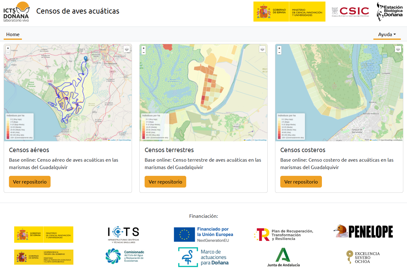
Interface of the new web portal dedicated to waterbird censuses in the Guadalquivir marshes.