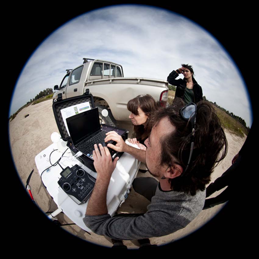
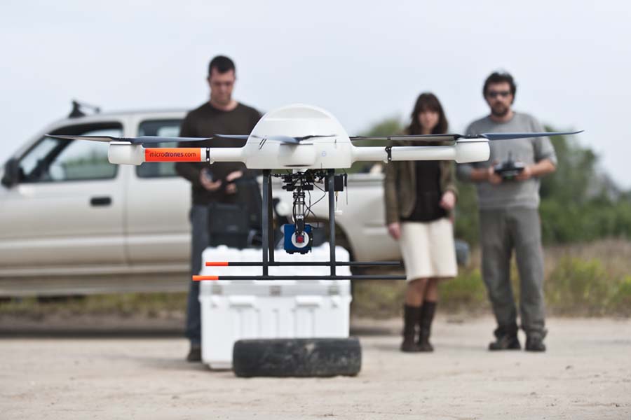
LAST-EBD is a central service of the Doñana Biological Station that can be used by all the staff, and whose chief mission is to provide access to remote sensing data, digital cartography, and training in GIS use to EBD staff.
We provide technical expertise in the ways in which GIS techniques can be used in research and resource management projects that require spatial data. We centralize the access to digital cartography, mainly of Andalusia, but also of other areas of Spain and the World.
We provide technical expertise in the ways in which GIS techniques can be used in research and resource management projects that require spatial data. We centralize the access to digital cartography, mainly of Andalusia, but also of other areas of Spain and the World. We provide advice on GIS software and procedures, remote sensing sensors available, satellite or airborne images, and request procedures. We can also indicate where to look, and how to order digital cartography or remote sensing data for a particular research project. We manage a remote sensing data bank that holds over 300 satellite and airborne images of the Doñana area. The satellite data bank holds also digital cartography and remote sensing data from other areas in Andalusia and the World. This image bank shows the change dynamics of the landscape, vegetation and ecosystem parameters such as hydroperiod, productivity etc., over the last 30 years. We provide expertise on the use of GPS, differential GPS, and on the use of new technologies for field data recording. We have provided training courses to researchers, students and technical staff on the use of GPS, PDA and field recording software.
Our Link: http://last-ebd.blogspot.com/


