

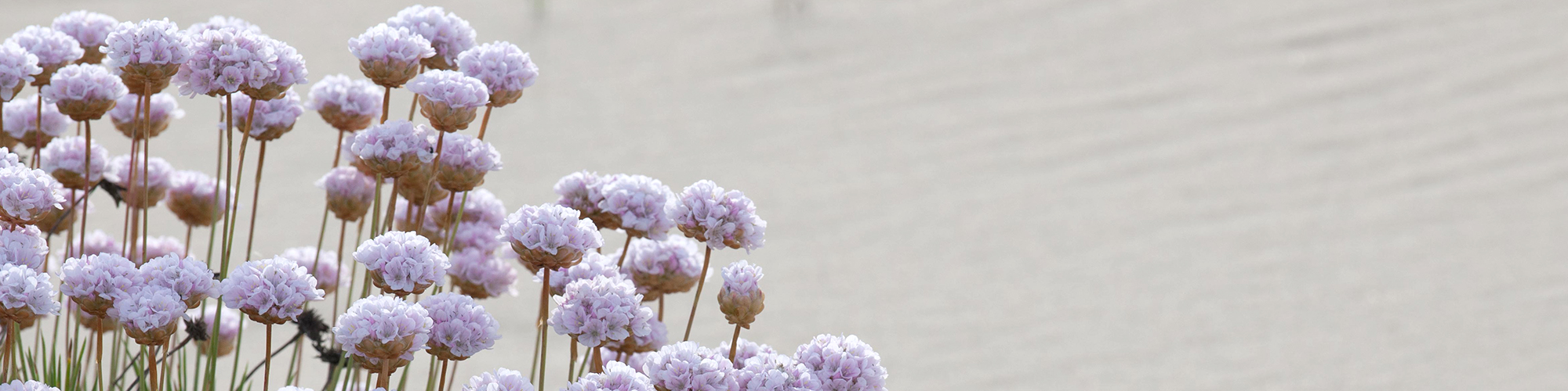
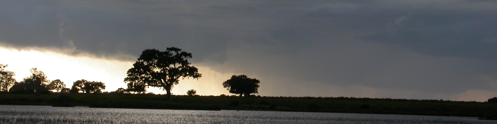

Phenology is the science that studies the relationship between the cycles of living beings and climatic factors. Using vegetation indices, we can know how climate change may affect or alter these natural vegetation cycles.
Long-term monitoring of ecosystems allows for improved understanding of how they respond structurally and functionally to different drivers of global change. This information is extremely useful for the conservation and monitoring of protected areas.
eLTER Plus and SUMHAL projects
The eLTER Plus project (European Long Term Ecosystem Critical Zone and Socio-Ecological systems Research Infrastructure), funded by the Horizon 2020 Programme, aims to promote long-term socio-ecological research to improve understanding of the combined effects of climate change, biodiversity loss, land degradation, pollution and unsustainable resource use in terrestrial, freshwater and transitional water ecosystems by developing and implementing the eLTER Scientific Infrastructure (ESFRI 2018).
Remote sensing is an essential tool to carry out all these long-term ecological monitoring tasks, thanks to the collection of data through satellite, aircraft, drone and in-situ images.
In this sense, in work package 6 of the SUMHAL, PhenoApp application has been developed, enabling the integration of phenology remote sensing data into Virtual Research Environments (VRE).
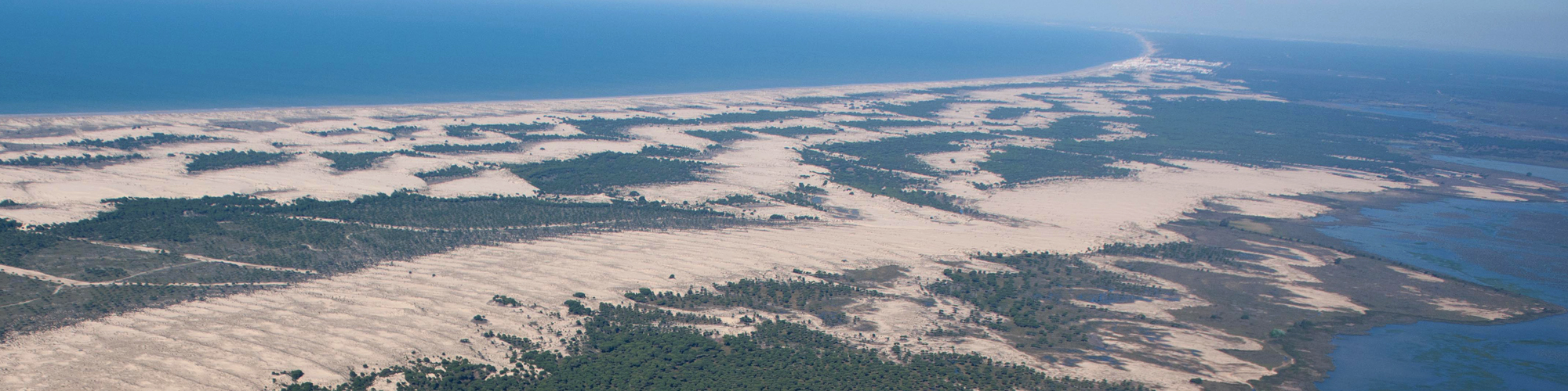
This application integrates the data obtained in situ by eight phenocameras installed in the Doñana Natural Area by the Doñana Singular Scientific-Technical Infrastructure (ICTS-RBD) together with images from ESA's Sentinel-2 satellites (Copernicus Programme) and MODIS.
Designing technological applications for the environment
The PhenoApp application, within the SUMHAL project in co-location with the eLTER infrastructure, allows to monitor the phenology of any of the eLTER network sites in Europe, generating a dynamic map and allowing to consult phenological metrics (start of the growing season, duration, end, etc.) through the images obtained by the Sentinel-2 satellite.
This monitoring is essential to understand how extreme events such a long-term drought are affecting vegetation. Satellite data can be compared with those obtained by phenocameras located in the field.
The application has been developed in the Python programming language, using Google Earth Engine and Geemap. Google Earth Engine can be defined as a large store of satellite images that also allows us to apply a multitude of algorithms to work on these images directly in the cloud, without the need to download them. Geemap is a Python library that allows connection with Google Earth Engine and also adds the map functionalities of Leaflet.
Benefits of PhenoApp
According to Diego García, working in the SUMHAL project and lead author of this study, "one of the main advantages of this application is that it simultaneously and automatically downloads, cuts, reprojects and analyses the images and time series of the collections available in Google Earth Engine, in the particular case of the savannahs of the Doñana Biological Reserve".
In addition, the WP6 PI, Ricardo Díaz-Delgado, comments that "the data obtained through PhenoApp allow us to demonstrate the effect of extreme droughts and other events associated with climate change on vegetation and its capacity for recovery or resilience at any site in the eLTER network".
The LifeWatch ERIC - SUMHAL project
The SUMHAL project, Sustainability for Mediterraean Hotspots in Andalusia integrating LifeWatch ERIC, is a European project within the ERDF programme of actions related to the pan-European distributed e-Science infrastructure LifeWatch ERIC, with headquarters in Andalusia-Spain. It is funded by the Spanish Ministry of Science and Innovation, through the European Regional Development Funds (ERDF) [SUMHAL, LIFEWATCH-2019-09-CSIC-4, POPE 2014-2020].
The key purpose of the project is to contribute to the conservation of biodiversity in natural or semi-natural systems in the Western Mediterranean, making use of high-tech infrastructures, fieldwork, data integration and the development of virtual research environments (VREs), as well as the combination of highly specialised research staff and citizens through citizen science actions.
Reference:
Diego García-Díaz y Ricardo Díaz-Delgado
PhenoApp. Una aplicación basada en Google Earth Engine para el monitoreo de la fenología
Revista de Teledetección, 61, (73-81) (2022)
DOI: https://doi.org/10.4995/raet.2023.18767
Contact
outreach@ebd.csic.es
https://doi.org/10.4995/raet.2023.18767
 ¡Abierta convocatoria para proyectos de investigación en la ICTS- Doñana!


