


Researchers from the Doñana Biological Station – CSIC has published a 16th century biodiversity and crop inventory, based on the standardized historical survey carried out during the reign of the Spanish King Philip II, known as Relaciones Topográficas. Data is available in the Global Biodiversity Information Facility (GBIF), an international network and biodiversity data infrastructure, and is complemented with an article published in the journal Ecology.
"We are losing biodiversity across the world and many species have increasingly smaller distribution areas and abundances", explains Duarte Viana, a researcher of the SUMHAL project at the Doñana Biological Station. This project aims, among many other objectives, to provide historical information on biodiversity. "It is important to know the past, where we come from, to describe the current changes in the biodiversity distribution and create tools to solve it". However, scientifically generated data on fauna and flora before the mid-20th century are very scarce, and there is almost nothing before the Industrial Revolution. In the absence of this information, an alternative to learn about biodiversity in the past is to attend to the diverse historical documents that include direct observations of fauna and flora.
The Relaciones Topográficas are the result of an initiative for a territory description undertaken by the court of Phillip II, with the aim of making a "particular description of these kingdoms". The data was collected systematically, using questionnaires and asking about population, architecture, customs, religion, climate, health and other topics. There were specific questions on agriculture and natural resources in them. For instance, they asked if the area was "abundant" or lacked "firewood" or, if it was mountainous, "from what mountain and grove, and what animals" they grew up and found in it. There was another, for example, about "fish and fisheries".
This survey intended to collect information from all the Spanish towns, but this objective could not be fulfilled. Today we have data of more than 630 towns in the centre-south of the country, preserved in the library of the Monastery of El Escorial. "Although the task failed in terms of the number of towns and the extent of the area described, the Relaciones Topográficas are one of the sources for describing the 16th century daily life, economy and customs worldwide. The amount, accuracy and age of the biodiversity information they provide is almost unprecedented", says Miguel Clavero, also a SUMHAL project researcher at the Doñana Biological Station.
Un territorio muy diferente al actual
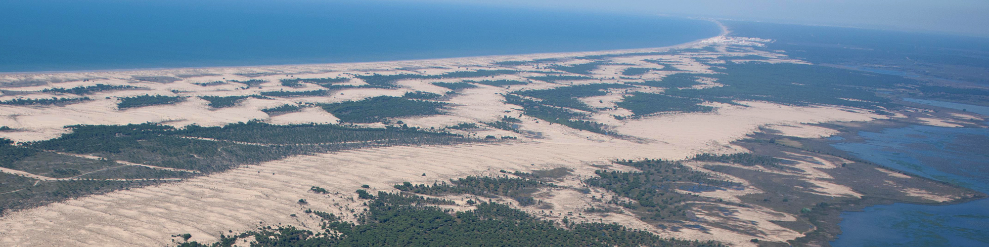
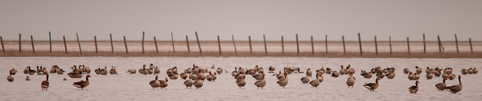
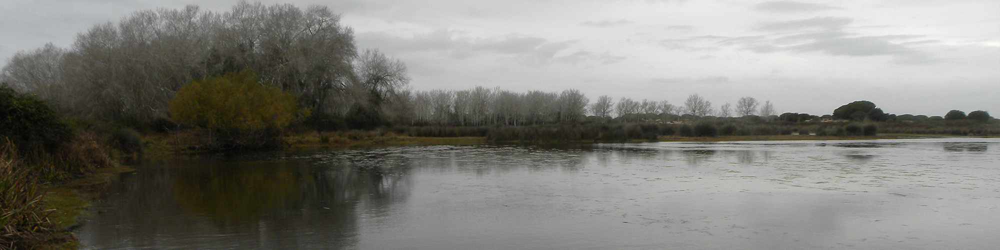
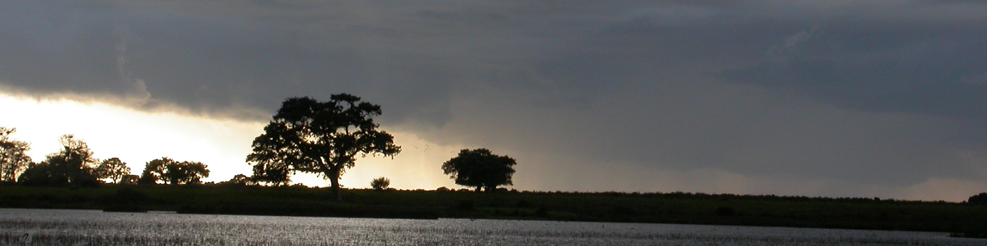
The EBD-CSIC team reviewed the records of 628 towns and collected more than 7300 records of wild plants and animals, crops and livestock. In total, there are references for at least 225 different species. The data generated describes a territory very different from the one we know today. More than eighty years after the arrival of Spanish people in America, no American crop had yet been adopted in the area described by the survey. The consumption of Mediterranean legumes that are residual nowadays, such as the grass pea or the ervil, was frequent then. Flax and hemp were grown for textiles and sumac for tanning hides. Silk was produced in many places too.
The wolf had a widespread distribution and brown bears were in every mountain. Both coexisted with the Iberian lynx. The last onagers, the wild donkeys, were still galoping across the souther plateau, and eels ascended all the rivers, onmipresent up to 1000 meters above sea level. Some introduced species were already in the fields, such as the fallow dear or the black francolin, the last now disappeared. The palaces began to house tenchs and carps in their ponds and the crayfish had not yet arrived from Italy.
The information generated is available for any researcher working to describe the 16th century landscapes, calculate the historical distributions of many species or discover their ecological niches before their declines. This information will allow to update the knowledge of the ecological and geographical limits of the species and to adapt the strategies for their conservation. "With this work, we have a good quality picture of the nature in a specific historical period, which can be compared with other historical moments and with the present", explains Duarte Viana. "This will allow us to know what has changed and what has been lost, and introduce objective elements to the discussion of what we want to recover." The work ends by highlighting its replicability, both within the Iberian Peninsula (where there are relevant historical sources from different periods) and in other parts of the world.
The SUMHAL project, Sustainability for Mediterraean Hotspots in Andalusia integrating LifeWatch ERIC, is a European project framed within the ERDF action program related to the pan-European distributed infrastructure of e-Science LifeWatch ERIC, with headquarters in Andalusia-Spain and is financed by the Spanish Ministry of Science and Innovation, through the European Regional Development Funds (ERDF) [SUMHAL, LIFEWATCH-2019-09-CSIC-13, POPE 2014-2020].
----------
Article:
Viana, D., Blanco-Garrido, F., Delibes, M., Clavero, M. (2022). A 16th century biodiversity and crop inventory. Ecology https://doi.org/10.1002/ecy.3783
GBIF database:
Viana, D., Blanco-Garrido, F., Delibes, M., Clavero, M. (2022). A biodiversity inventory of the 16th century based on a land and socio-economic survey in Spain. v1.3. Estación Biológica de Doñana (CSIC). Dataset/Samplingevent. https://doi.org/10.15470/sqvd69
https://esajournals.onlinelibrary.wiley.com/doi/10.1002/ecy.3783 ¡Abierta convocatoria para proyectos de investigación en la ICTS- Doñana!


