
Shortcuts:

Welcome
Welcome to the official website of the Doñana Biological Station (EBD-CSIC)...
The Doñana Biological Station: EBD-CSIC
The Doñana Biological Station is a public Research Institute belonging to the Spanish Council for Scientific Research CSIC in the area of Natural Resources...
Mission
Our fundamental mission is to carry out multidisciplinary research of the highest standard directed to understanding the way in which biodiversity is generated, maintained and deteriorates, as well as the consequences of its loss...
Our methods
We apply many techniques within a multidisciplinary framework, from molecular genetics to remote sensing, and from modelling to physiological and isotopic analyses...

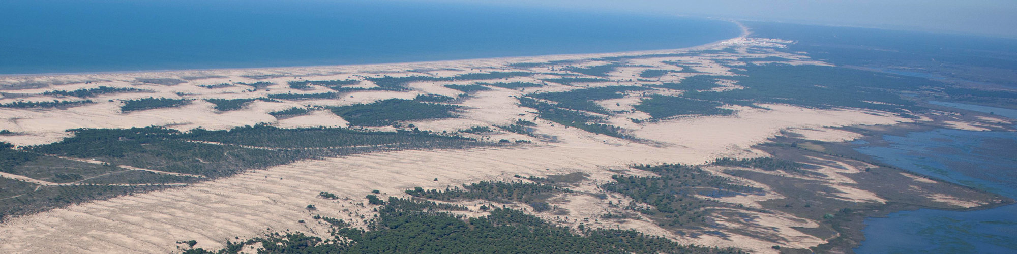
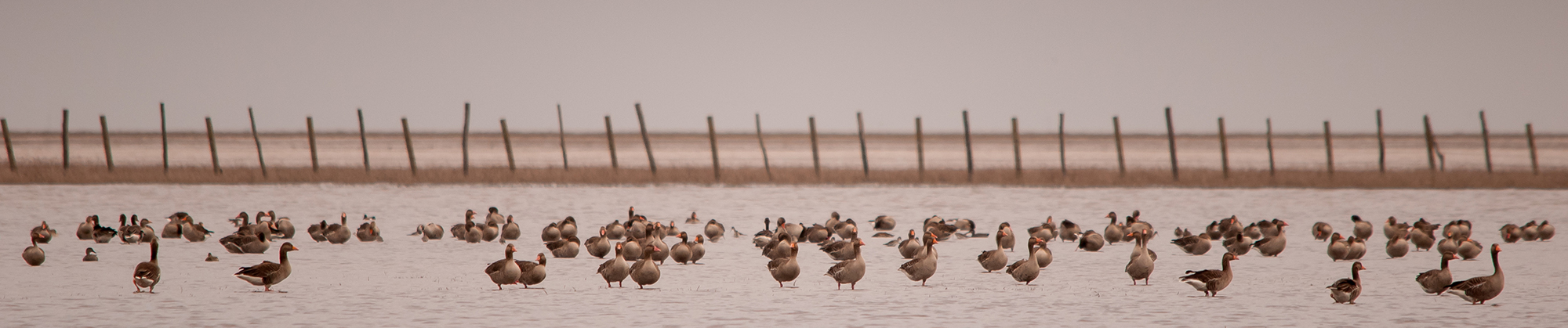
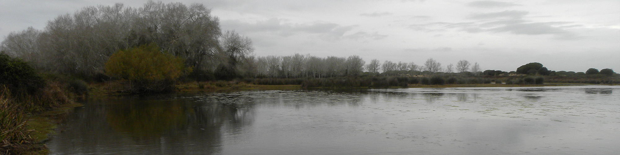
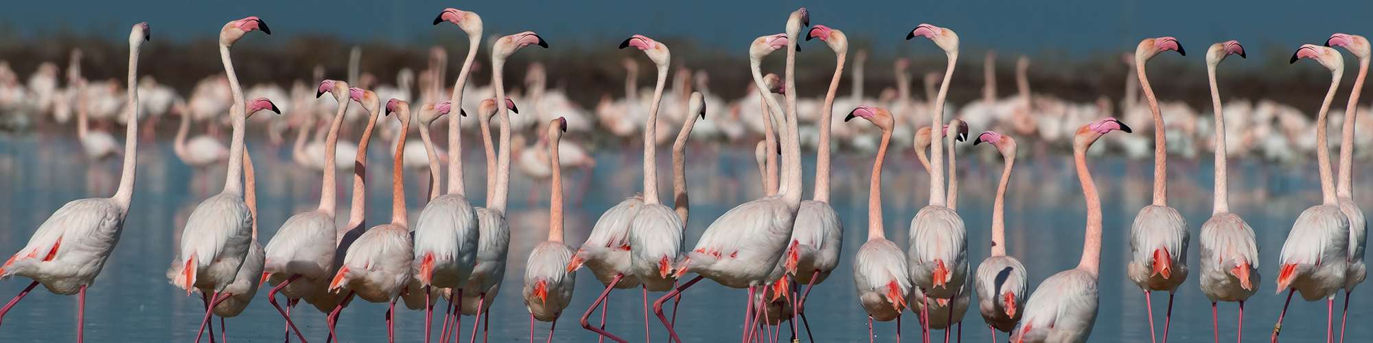
Monitoring the environment
Monitoring biodiversity at the Doñana Natural Space cover a wide range of communities, including both terrestrial and aquatic organisms...
Aims
Our aims include the study of the ecological and evolutionary processes by combining field work, mathematical and statistical models and physiological and genetic analysis...
 Outstanding
- Open Call for Research Projects in ICTS-Doñana!
- La Fundación Jaime González-Gordon ofrece cuatro becas para el desarrollo de Trabajos de Fin de Máster sobre Doñana
- Five contracts to carry out a doctoral thesis in the Doñana Biological Station - CSIC
- Actividades de la Estación Biológica de Doñana en la Noche Europea de los Investigadores
- ICTS-RBD prepares the 30th Migratory Passerine Bird Ringing Campaign in Doñana
— 5 Items per Page
News
 Vector competence of Aedes caspius and Ae. albopictus mosquitoes for Zika virus, Spain

MIZUTAMA: a quick, easy, and accurate method for counting erythrocytes

Rapid assessment of ecological integrity for LTER wetland sites by using UAV multispectral mapping

From groups to communities in western lowland gorillas

Enhancement of ecological field experimental research by means of UAV multispectral sensing

— 5 Items per Page