
Spatiotemporal ecological modelling of terrestrial ecosystems relies on climatological and biophysical Earth observations. Due to their increasing availability, global coverage, frequent acquisition and high spatial resolution, satellite remote sensing (SRS) products are frequently integrated to in situ data in the development of ecosystem models (EMs) quantifying the interaction among the vegetation component and the hydrological, energy and nutrient cycles. This review highlights the main advances achieved in the last decade in combining SRS data with EMs, with particular attention to the challenges modellers face for applications at local scales (e.g. small watersheds). The literature on progress made towards integration of SRS data into terrestrial EMs is critically reviewed as input to define model drivers, as reference to validate model results, and as a tool to sequentially update the state variables, and to quantify and reduce model uncertainty. The number of applications provided in the literature shows that EMs may profit greatly from the inclusion of spatial parameters and forcings provided by vegetation and climatic?related SRS products. Limiting factors for the application of such models to local scales are: mismatch between the resolution of SRS products and model grid, unavailability of specific products in free and public online repositories, temporal gaps in SRS data, and quantification of model and measurement uncertainties. This review provides examples of possible solutions adopted in recent literature, with particular reference to the spatiotemporal scales of analysis and data accuracy. Analysis methods such as stochastic downscaling techniques and multi?sensor/multi?platform fusion approaches are necessary to improve the quality of SRS data for local applications. Moreover, coupling models with data assimilation techniques is suggested to improve their forecast abilities. This review encourages the use of SRS data in EMs for local applications, and underlines the necessity for a closer collaboration among EM developers and remote sensing scientists. With more upcoming satellite missions, especially the Sentinel platforms, concerted efforts to further integrate SRS into modelling are in great demand and these types of applications will certainly proliferate. informacion[at]ebd.csic.es: Pasetto et al (2018) Integration of satellite remote sensing data in ecosystem modelling at local scales: Practices and trends. Methods Ecol Evol https://doi.org/10.1111/2041-210X.13018
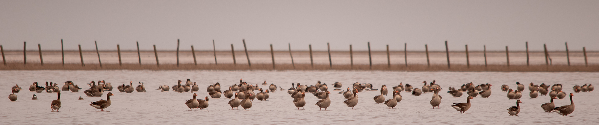
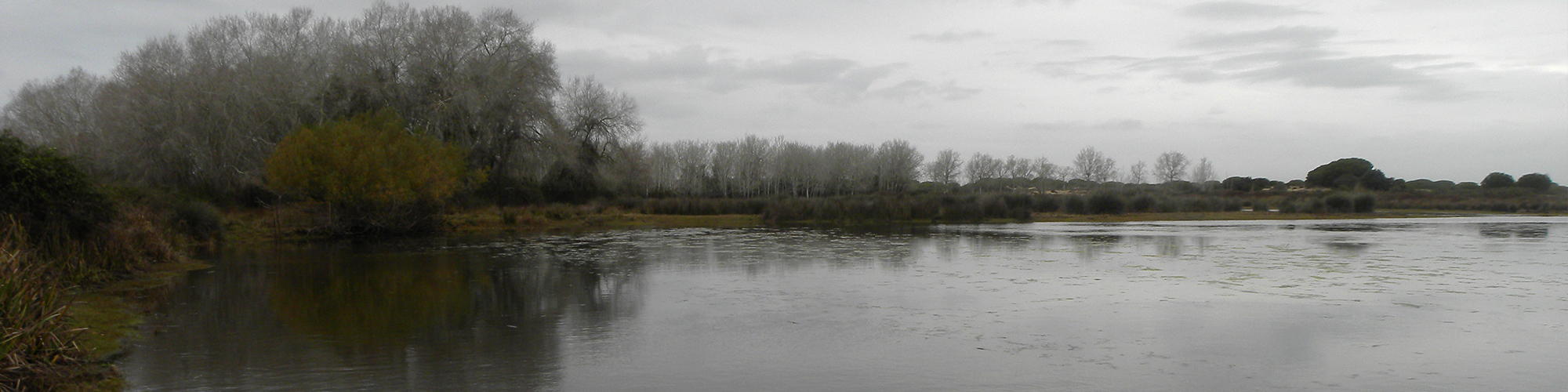
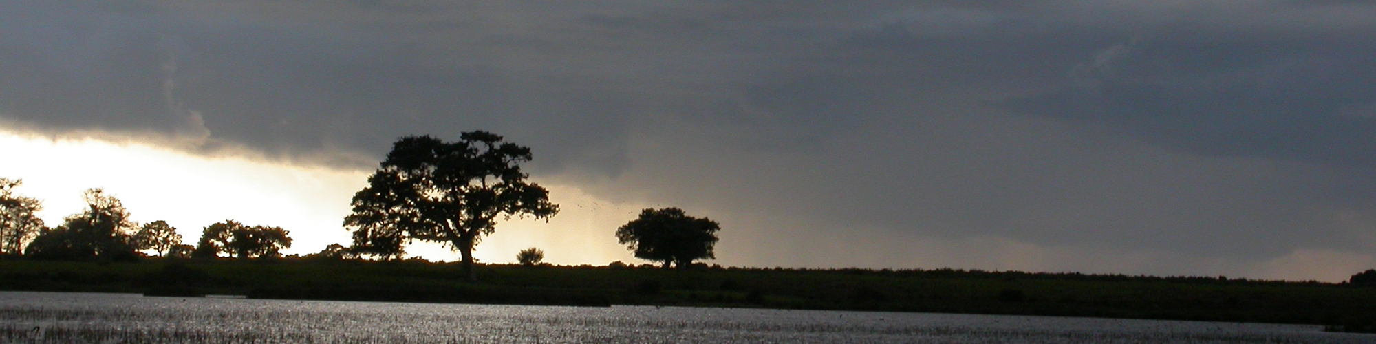
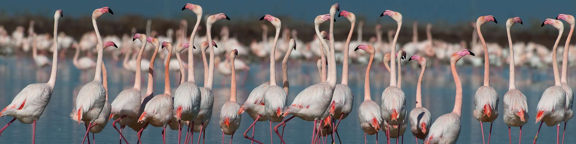
https://besjournals.onlinelibrary.wiley.com/doi/10.1111/2041-210X.13018 Las altas temperaturas están provocando que las lagunas y las marismas de Doñana pierdan agua rápidamente