
Shortcuts:

Welcome
Welcome to the official website of the Doñana Biological Station (EBD-CSIC)...
The Doñana Biological Station: EBD-CSIC
The Doñana Biological Station is a public Research Institute belonging to the Spanish Council for Scientific Research CSIC in the area of Natural Resources...
Mission
Our fundamental mission is to carry out multidisciplinary research of the highest standard directed to understanding the way in which biodiversity is generated, maintained and deteriorates, as well as the consequences of its loss...
Our methods
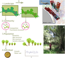
We apply many techniques within a multidisciplinary framework, from molecular genetics to remote sensing, and from modelling to physiological and isotopic analyses...
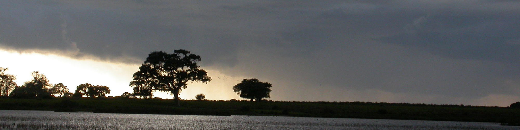
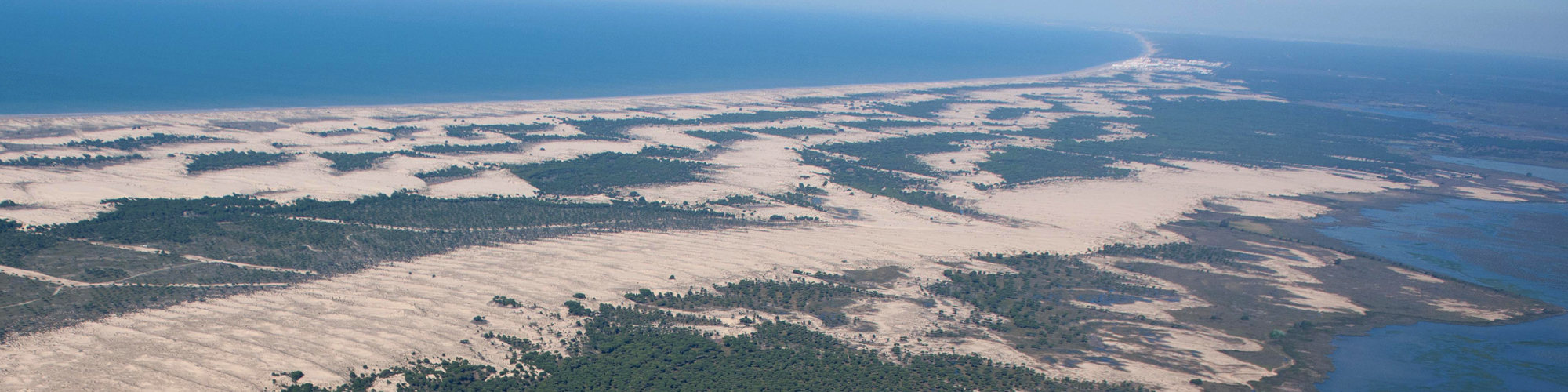
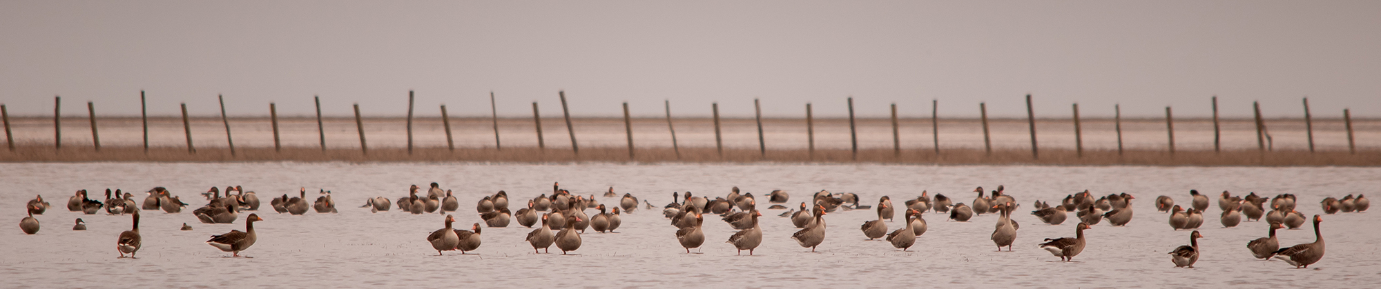
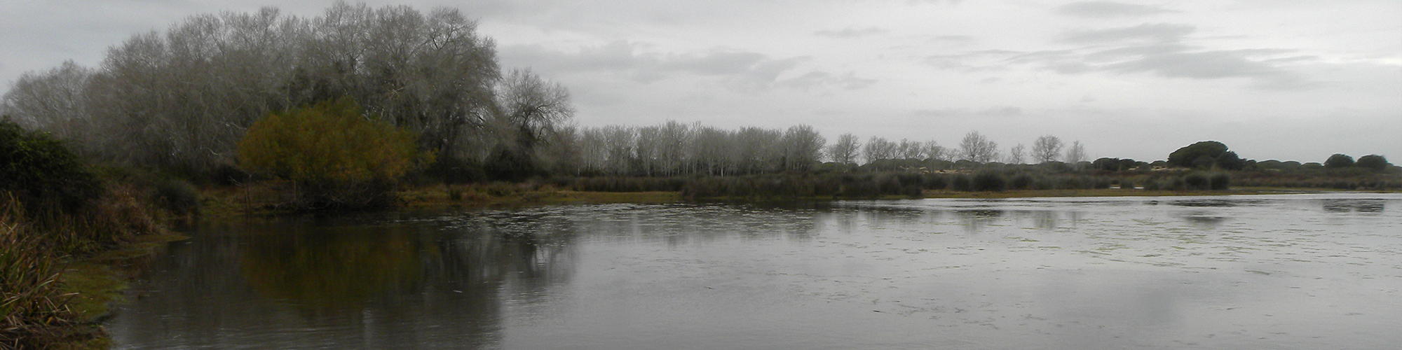
Monitoring the environment
Monitoring biodiversity at the Doñana Natural Space cover a wide range of communities, including both terrestrial and aquatic organisms...
Aims
Our aims include the study of the ecological and evolutionary processes by combining field work, mathematical and statistical models and physiological and genetic analysis...
 Outstanding
- Drones and topographic models to identify and analyze Neanderthal footprints on Matalascañas beach
- When remote sensing and field approaches combine
- What can Remote Sensing do for the Conservation of Wetlands?
- Realización de figuras tipo mapa en artículos científicos, 2ªparte
- Realización de figuras tipo mapa en artículos científicos, 1ªparte
— 5 Items per Page
News
Content with tag teledetección .
 Drones and topographic models to identify and analyze Neanderthal footprints on Matalascañas beach
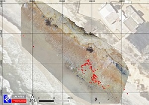
A georeferenced photographic mosaic was generated, allowing the identification and analysis of the recently discovered Neanderthal footprints, as well as a topographic model to estimate the sizes of the individuals by the depth of the tracks
When remote sensing and field approaches combine
What can Remote Sensing do for the Conservation of Wetlands?
International Symposium on Remote Sensing of Wetlands ...
 Realización de figuras tipo mapa en artículos científicos, 3ªparte
David Aragonés, técnico del LAST-EBD, laboratorio de Sistemas de Información Geográfica (SIG) y Teledetección de la Estación Biológica de Doñana, CSIC, imparte un curso sobre realización de figuras tipo "mapa" en artículos científicos.
Realización de figuras tipo mapa en artículos científicos, 1ªparte
David Aragonés, técnico del LAST-EBD, laboratorio de Sistemas de Información Geográfica (SIG) y Teledetección de la Estación Biológica de Doñana, CSIC, imparte un curso sobre realización de figuras tipo "mapa" en artículos científicos.
— 5 Items per Page